Aerial Survey Over Rees and Dart Rivers
Jul 23, 2025
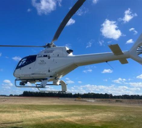
Kia ora! Over the next couple of days, you might spot a helicopter flying back and forth over the Rees and Dart Rivers. This is the team from Vadis Geomatics, working on an aerial survey using LiDAR (aerial laser scanning) to map the riverbeds.
This work is part of an exciting research project led by The University of Canterbury, aimed at better understanding how these rivers change over time and what that means for flood risks in the area.
The helicopter will be flying between 600 ft and 1500 ft above ground level, mostly over the upper reaches of the Rees and Dart Rivers. We’ve taken great care to ensure the survey is carried out safely and with as little disruption as possible.
We really appreciate your understanding and support while we complete this important work.
Thanks,
The Vadis Team.

Leave a comment